Herdubreid 53014861 53107277

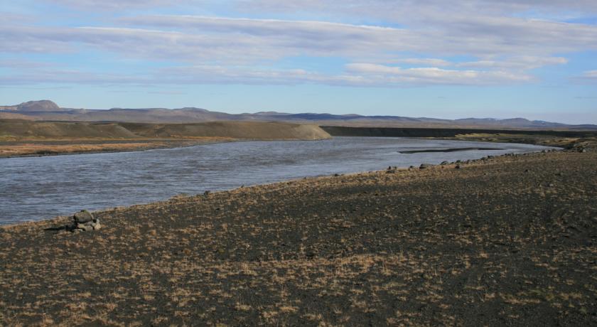
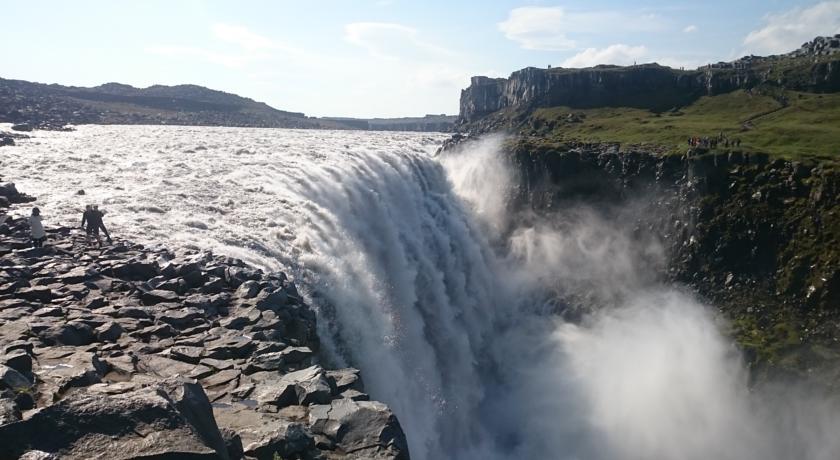
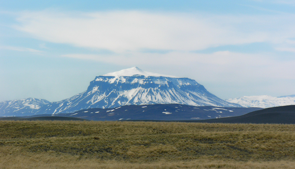
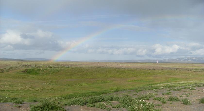
Grímstunga I is a part of a small hamlet at the northern edge of the expansive highlands north of glacier Vatnajökull. This area of Iceland has been inhabited for more than a thousand years. Despite being very sparsely populated nowadays, modern life is never far away, as highway no 1 (the “Ring Road”) passes close by the hamlet, linking North and East Iceland. With panoramic views and the powerful guard Mt Herðubreið (often called the Queen of Icelandic mountains), hikers and mountaineers who want to enjoy the peaceful and unique magic of the highlands should find all they seek and more when staying at Grímstunga.

Herdubreid

Mývatn, along with the surrounding area (40 km /25 mi), is a unique and breath-taking region, formed by volcanic activity over hundreds of thousands of years. It’s furthermore one of Iceland’s most popular attractions. Here you can explore gems like Dimmuborgir, Hverfjall, Skútustaðagígar and Hverarönd by Námaskarð. Turn off route 1 west of the glacial river (8 km / 5 mi from Grímstunga) and onto highland route F88 to enter the highlands. There, you can travel to Herðubreiðarlindir (60 km / 37 mi), Askja (100 km / 62 mi) and Kverkfjöll, which are a part of the northern Vatnajökull glacier (130 km / 80 mi). You can go on organised tours that depart from village Reykjahlíð by Lake Mývatn and explore this unique world of wilderness, lava fields, volcanoes, oases and glaciers.

55252536

Travel 26 km (16 mi) from Grímstunga I to reach Iceland’s largest glacial river, Jökulsá á Fjöllum. 10 km west of the river is a road that will take you along the river to the canyons Jökulsárgljúfur, via the northern-most part of national park Vatnajökulsþjóðgarður. Europe’s most voluminous waterfall, Dettifoss, guarded by a majestic row of cliffs, is about 24 km / 15 mi away and is easier to see from road 864 (east side of the waterfall). Also other waterfalls are worth seeing; Selfoss is a little further up the river from Dettifoss, and Hafragilsfoss is a little further down the river. There are many marked hiking routes in this area, and you can also join organised guided tours that depart from village Reykjahlíð.

Suggested Trips

Trip to Mývatn, total driving time about 2 hrs.

Go to Mývatn and see Hverfell, a large, circular explosion crater, about 140 metres deep and with a diameter of 1,000 metres. Hverfell is one of Iceland's most beautiful and symmetrical explosion craters, besides being one of the largest of its kind in the world.

Next Dimmuborgir, a large area of unusually shaped lava fields. The area is composed of various volcanic caves and rock formations, reminiscent of an ancient collapsed citadel.

The trip around the lake is worth taking, at the north end is one of the most beautiful rivers in Iceland, Laxá í Aðaldal.

Krafla powerplant and the surrounding area of volcanic craters and mountains is surreal, a must see.

Click here to see a suggested route on Google maps


Trip to Dettifoss, Ásbyrgi, Húsavík and Mývatn, total driving time 3 hours and 40 min.

Drive to Dettifoss, Icelands most powerful waterfall, then onwards to Ásbyrgi, a geological phenomenon. Next could be Húsavík, maybe for whalewatching, and then south to Mývatn for quick look.

Click here to see a suggested route on Google maps


Trip to Askja, Holuhraun and Möðrudalur, this is a mountain road! Estimated driving time is 4-5 hrs. 105 km.

For the more adventurous traveller who has a 4x4 vehicle it is possible to drive to Askja, past Herðubreið, then onwards to Holuhraun and back a different route through Möðrudalur.

Click here to see a suggested route on Google maps

It is possible to take a bus to Askja from highway no 1 closest to Grímstunga. You will then have to call or e-mail Mývatn Tours and order the trip from that location. Tel: +354 464 1920 E-mail: askjatours(a)myvatntours.is